Route des Laves, where the island is made
The essentials
- From the bungalow
- 45 minutes to the northern entrance
- Route
- the RN2, Sainte-Rose to Saint-Philippe
- Length
- about 32 km
- Access
- free — it is a public road
- Duration
- allow 2 to 3 h with stops
- Best time
- early morning or late afternoon, for raking light
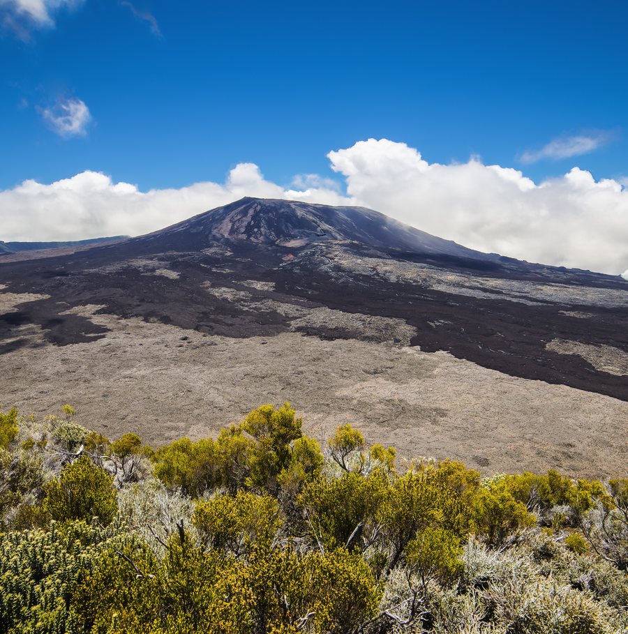
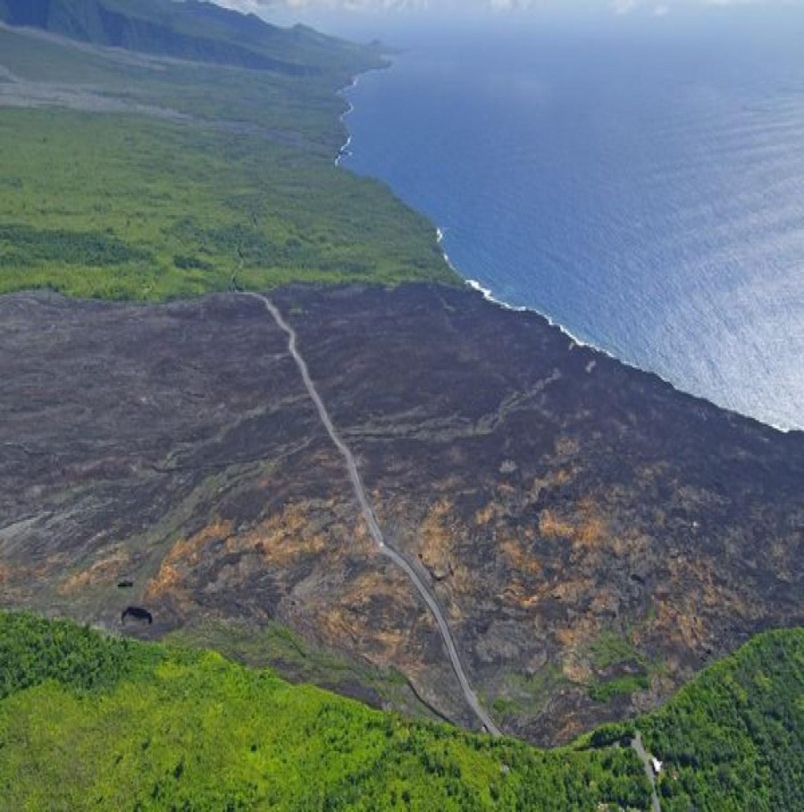
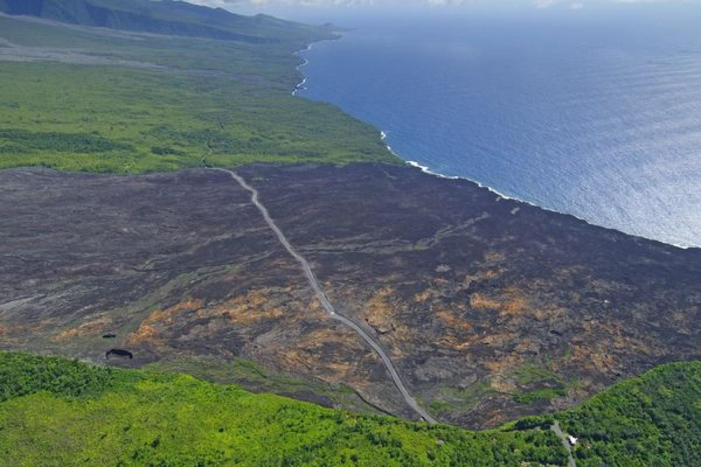
This is the outing that surprises new arrivals most. You are driving along an ordinary main road between forest and ocean, and suddenly the vegetation stops. In its place, a field of black basalt running from the mountain down to the sea, several kilometres wide.
The Grand Brûlé is the lower part of the Enclos Fouqué, the caldera of Piton de la Fournaise. This is where the flows come down when the volcano overflows, and where the island is still growing.
The drive
The Route des Laves is not a separate road: it is the stretch of the RN2 between Sainte-Rose and Saint-Philippe, about thirty-two kilometres long. From the bungalow you reach the northern entrance in forty-five minutes along the coast, passing Anse des Cascades.
You can drive it straight through in forty minutes, or spend three hours on it. The second is the right choice: the flows only resolve themselves when you stop, and several lay-bys let you pull over safely at the edge of the lava fields.
Reading the flows
Each flow carries a date, and you learn to tell them apart quickly. The most recent are matt black and bare, without a single plant. The oldest gradually take on lichens, then ferns, then shrubs. Driving through, you cross several decades of eruptions one after another.
The reference episode is April 2007, known locally as the eruption of the century. The flow buried the road over several hundred metres, reaching more than sixty metres thick in places. It took seven months of survey work and construction to reopen the RN2 across the top of it.
- Do not walk far from the road on the flows: the crust can be hollow, and lava tubes collapse.
- There is no shade, no water and no shop over the thirty-two kilometres. Bring water.
- Phone coverage is poor in places.
- After rain, the basalt becomes slippery.
The church that was spared
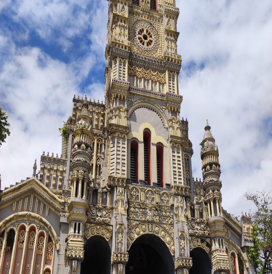
Before entering the Grand Brûlé, at Piton Sainte-Rose, the church of Notre-Dame des Laves deserves a ten-minute stop. In 1977 a flow came through the village and stopped at its door, going around the building without entering. The basalt is still there: you can see exactly where it set.
Whatever reading you give it, the image is arresting, and it says more than any information panel about what living under an active volcano means. The full day is described in our one-week itinerary.
When to go
Early morning or late afternoon. At midday the sun flattens the relief and the lava field becomes a grey expanse without depth. In raking light the folds, ropes and crevasses of the basalt stand out, and you understand that this mass once flowed.
It is also a matter of comfort: there is no shade at all, and black basalt throws the heat back at you. Ten minutes out of the car at two in the afternoon in the austral summer is enough to remind you.
Frequently asked questions
Where does the Route des Laves start and end?
It is the stretch of the RN2 between Sainte-Rose, to the east, and Saint-Philippe, to the south — about 32 km. It crosses the Grand Brûlé, the lower part of the enclosure of Piton de la Fournaise.
Do you need a special vehicle?
No. It is a surfaced public road, drivable in any car. No 4×4 is needed.
How long should you allow for the Route des Laves?
Forty minutes without stopping, 2 to 3 hours taking the lay-bys. The second is the right choice: the flows only resolve themselves when you get out of the car.
Can you walk on the lava flows?
At the roadside and in the laid-out areas, yes. Further out it is unwise: the crust can be hollow above old lava tubes, which collapse.
Which is the most striking flow?
April 2007, the “eruption of the century”, which buried the road over several hundred metres and up to more than 60 m thick. The RN2 reopened seven months later, across the top of it.
Written in Saint-Benoît, where we rent the bungalow, and updated on September 13, 2026. Access and swimming rules change: we always point to the authority in charge rather than speaking for it.