Takamaka, the bottomless valley
The essentials
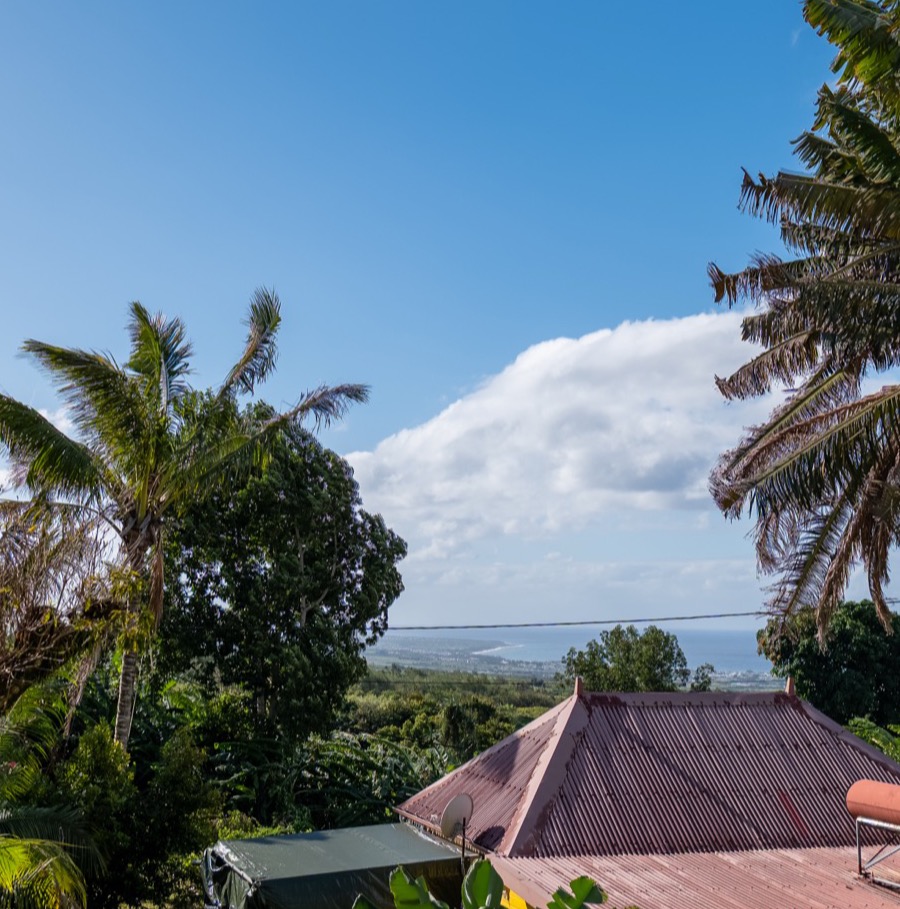
- From the bungalow
- 25 minutes by road
- Commune
- Saint-Benoît, Rivière des Marsouins valley
- Access
- free, car park at the belvedere
- Walking
- none for the viewpoint
- Altitude
- around 600 m
- Best time
- before 10 am — cloud fills the valley afterwards
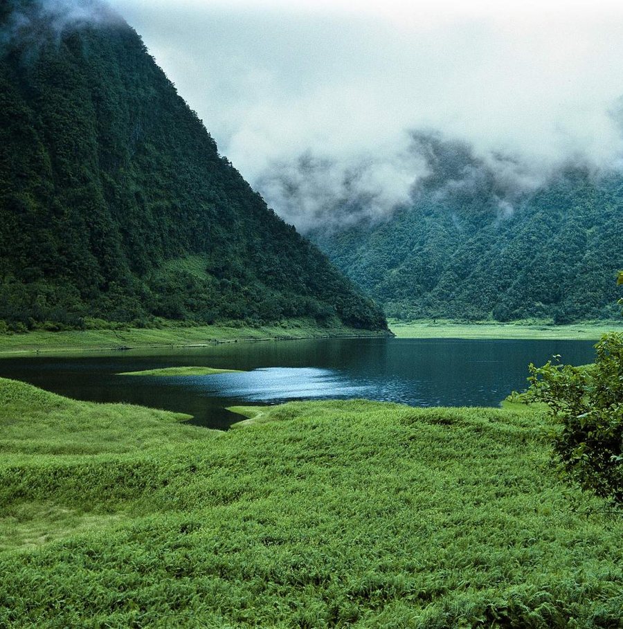
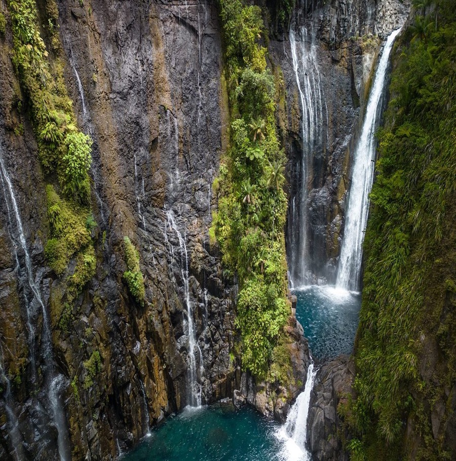
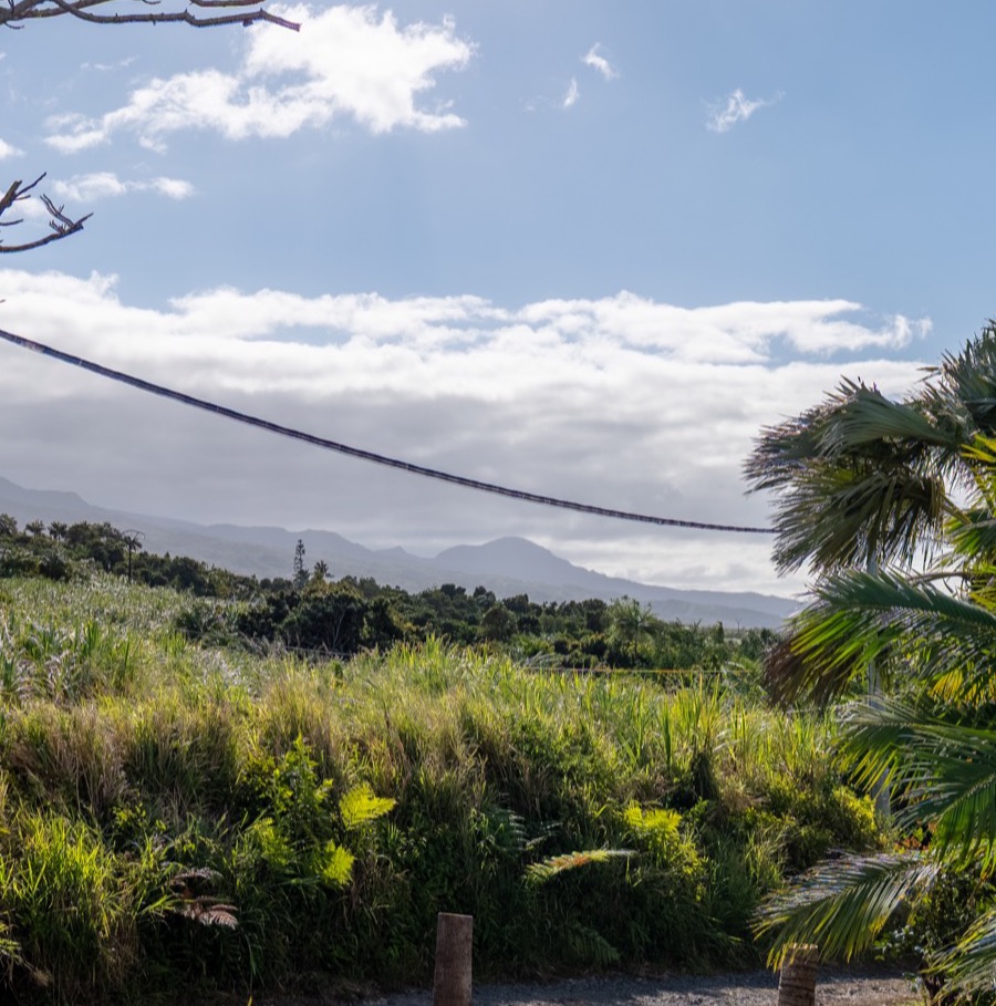
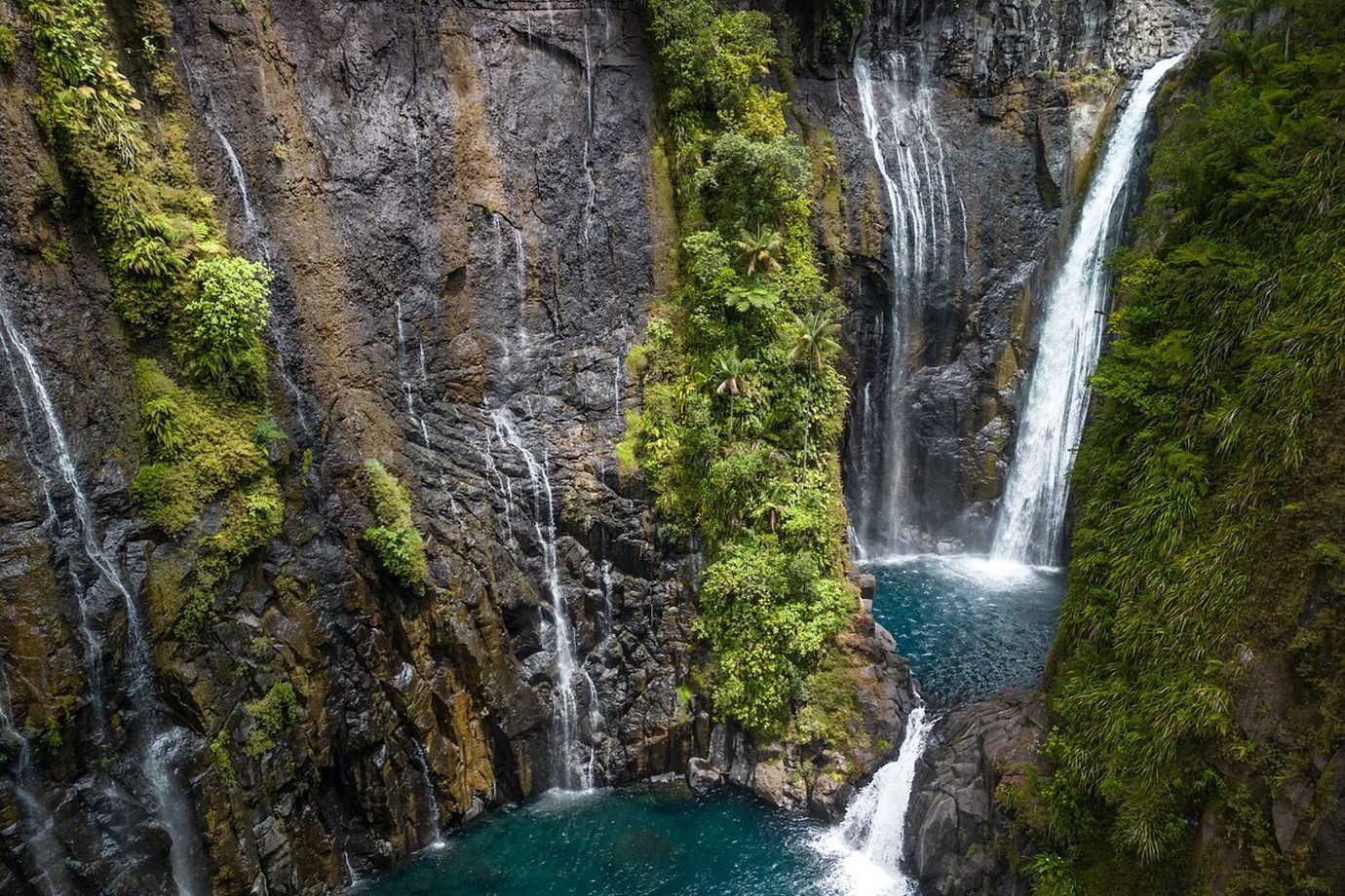
Takamaka is the kind of place you only understand once you are standing in front of it. A narrow road climbs the Rivière des Marsouins valley from Saint-Benoît, crosses the cane fields then the forest, and stops dead at the edge of nothing. Opposite, a wall several hundred metres high, streaked with waterfalls dropping out of the primary forest.
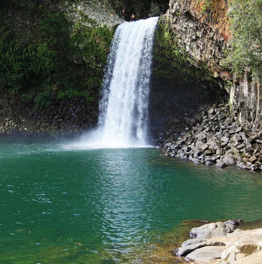
How many waterfalls you see depends entirely on the rain of the preceding days. After a wet spell the whole face runs with water. After a long dry season three or four remain, thinner. Neither version disappoints — they are two different landscapes.
The road, and what it asks
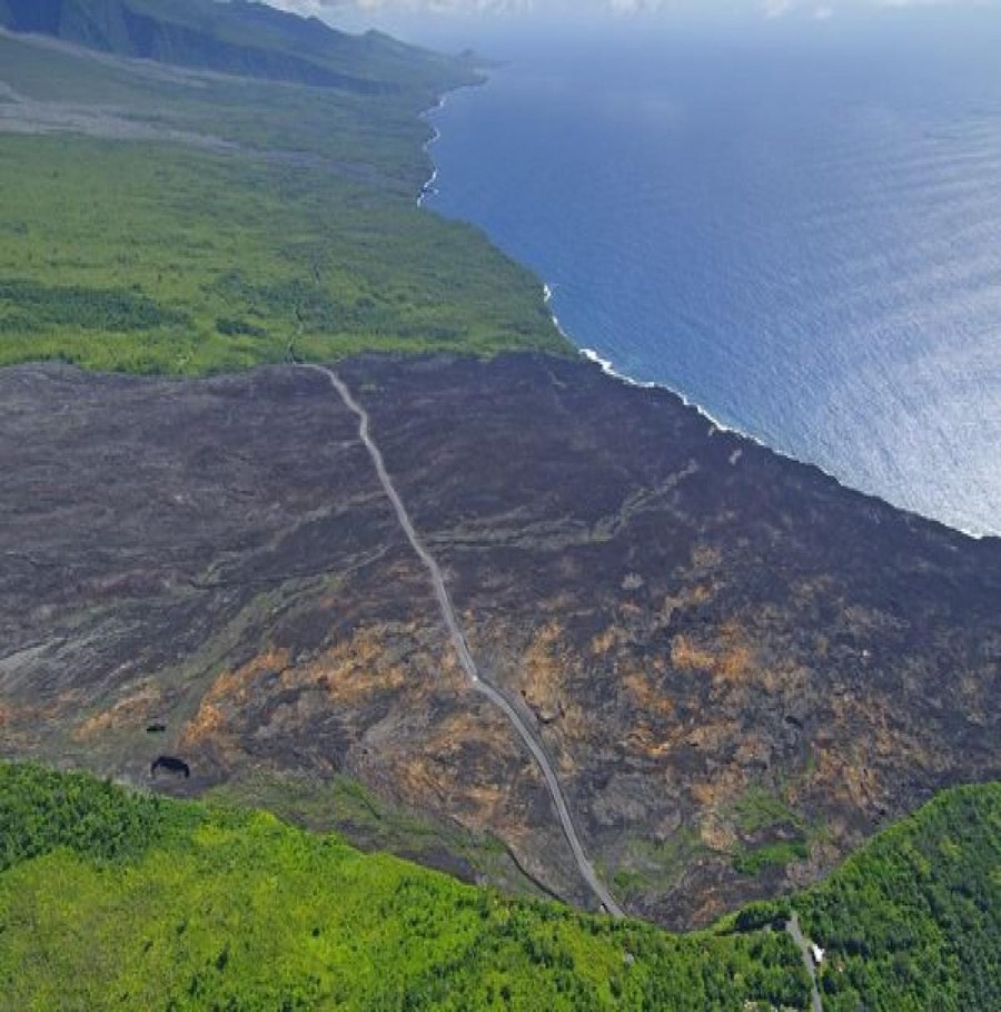
From Saint-Benoît you follow signs for Takamaka for about twenty kilometres. The road is surfaced the whole way, but it is narrow, winding and edged with ravines. Two cars pass without trouble; a lorry demands attention. Allow twenty-five minutes from the bungalow, without trying to hurry.
The belvedere is at the end, with a car park and a laid-out viewing area. It is a free site: no ticket office, no hours, no warden. Which also means there is nobody to tell you the mist has come down.
Why you have to be early
This is the only real rule of the place, and it is the same one as at Grand Étang. The valley faces east: it takes the moisture-laden trade winds head on. The air rises along the wall, cools, and condenses. By mid-morning the valley has disappeared.
Before ten you can see the floor of it. After, you see a white wall and hear water you cannot see. It is not invariable — there are perfectly clear afternoons — but it is the overwhelming tendency, and it does not forgive a lie-in. This is how the whole windward coast works.
The dam, and what you cannot see
Below the belvedere, the Rivière des Marsouins feeds a hydroelectric station. The works are discreet from the viewpoint, but they explain the road: it was cut for the construction site, not for visitors.
The valley is also one of the best-known canyoning sites on the island. If you see ropes and wetsuits in the car park, that is why. Descents are booked through operators based in Saint-Benoît; this is not something to attempt alone.
How it fits a day
Takamaka combines badly with a big hike — it is a dead-end road and you come back the way you went. It combines very well with a late morning in the Hauts, or with the drive back to the coast and a swim at Bassin La Paix.
The pattern we suggest: leave the bungalow at seven, belvedere by a quarter to eight, an hour on site, back down the valley, and lunch in Saint-Benoît. The whole afternoon is still yours.
Frequently asked questions
Do you have to hike to see Takamaka?
No. The belvedere is reached by car, with a car park at the end of the road. The viewpoint is a few metres away.
What time should you go to the Takamaka viewpoint?
Before 10 am. The valley faces the trade winds and fills with cloud by mid-morning. After that you hear the waterfalls without seeing them.
Is the Takamaka viewpoint free?
Yes, access and parking are free, with no opening hours.
How many waterfalls can you see at Takamaka?
It depends entirely on recent rain. After a wet spell the whole face runs with water and there are dozens. After a long dry season three or four remain, thinner.
Is the road to Takamaka difficult?
It is surfaced the whole way but narrow and winding, edged with ravines. It needs no particular vehicle, only that you are not in a hurry.
Written in Saint-Benoît, where we rent the bungalow, and updated on September 13, 2026. Access and swimming rules change: we always point to the authority in charge rather than speaking for it.